ArcGIS GeoService
Dataset beskrivning:
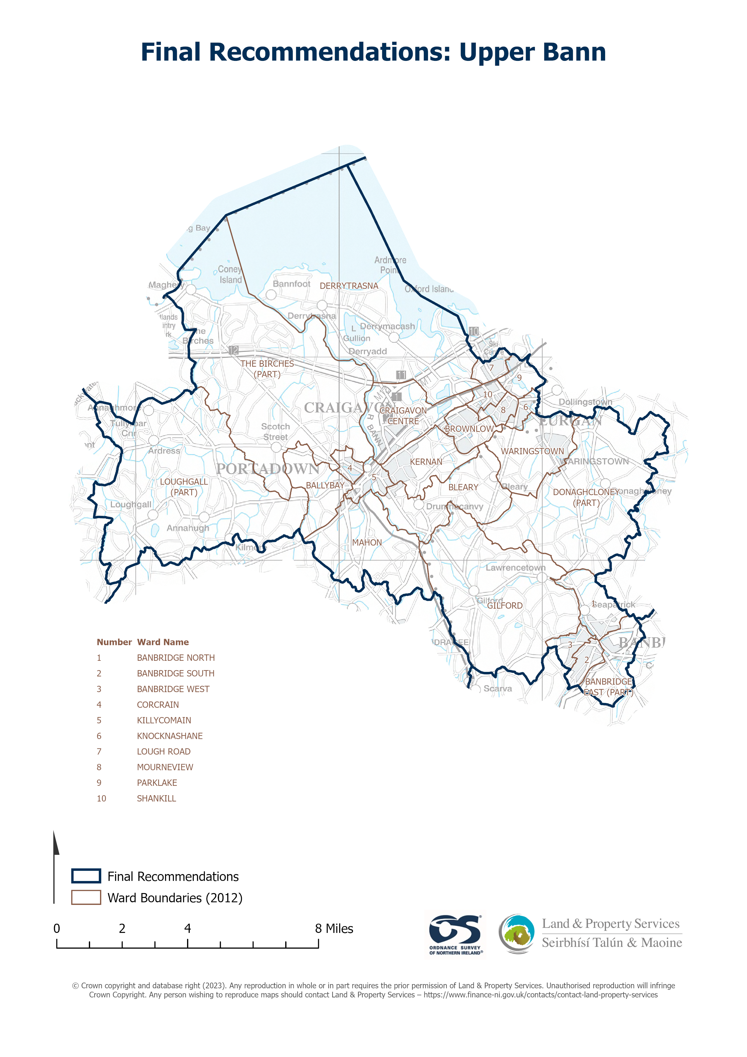
Raster download of Parliamentary Constituency 2023 of Upper Bann. The OSNI Large-scale Parliamentary Constituencies boundaries is a dataset consisting of official boundaries as agreed by...
Källa: OSNI OpenData - Parliamentary Constituencies 2023 - Upper Bann
Inga vyer har skapats för resursen.
Mer information
| Fält | Värde |
|---|---|
| Metadata senast uppdaterad | 27 augusti 2025 |
| Skapad | 27 augusti 2025 |
| Format | JSON |
| Licens | UK Open Government Licence (OGL) |
| Access url | https://docs.spatialni.gov.uk/OpenData/OSNIOpenData_ParliamentaryConstituencies2023/PC2023_Upper_Bann.png |
| Datastore active | False |
| Distribution ref | Nc30e548724e4499eafd089b05eb04471 |
| Has views | False |
| Id | cd2087d2-1980-4240-ae12-caeb9ba0dc7f |
| Mimetype | application/json |
| Package id | ffac01e8-74c5-4f56-a85a-3d952881c25f |
| Position | 1 |
| Requested | False |
| State | active |