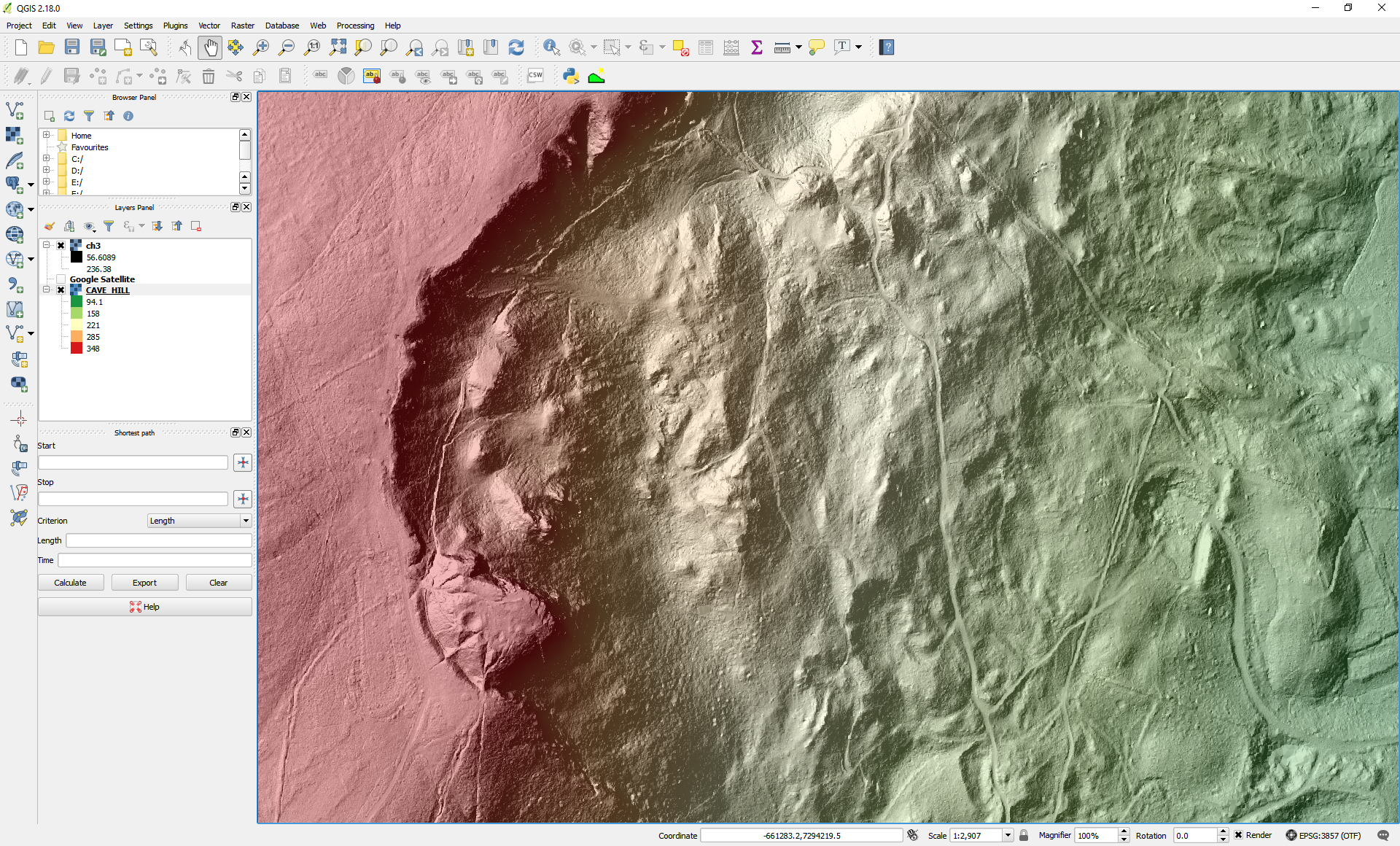
What's under the trees? Visualising OpenDataNI LiDAR in a Geographical Information System (GIS)
A blog describing the steps to process, visualise and analyse the OpenDataNI LiDAR data (Raster/Grid forma) using a free and open source Geographical Information System (GIS).