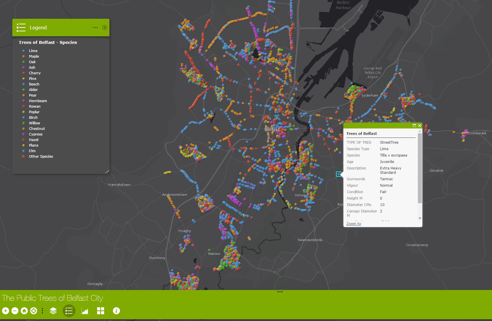
The Belfast City Council Open Data Tree Database details the species and location of 15,500 'Public' trees in the cityscape (Park & Street). The data includes information on tree location, species, age, health and (when recorded) tree dimensions.
The data (available in open CSV format) has been analysed, visualised and mapped by members of the Geographical Information Science (GIS) Research and Teaching Unit at the School of Geography, Archaeology and Palaeoecology (GAP) Queen's University Belfast who organised the records into the dominant tree species growing in the City.
Smartphone and tablet users can locate their position relative to a record using GPS and identify the tree at that location!
Zoom and Pan around the map and click on a tree species location icon to view 'Attribute' data of each tree surveyed by Belfast City Council.
A Heat Map visualises tree density across Belfast, displays the distribution (High-Low) across the city. (Use the bottom “Map Layers” button to display this layer)
For more information on GIS, mapping and Spatial Science contact:
http://www.qub.ac.uk/sites/GeographicalInformationScience/