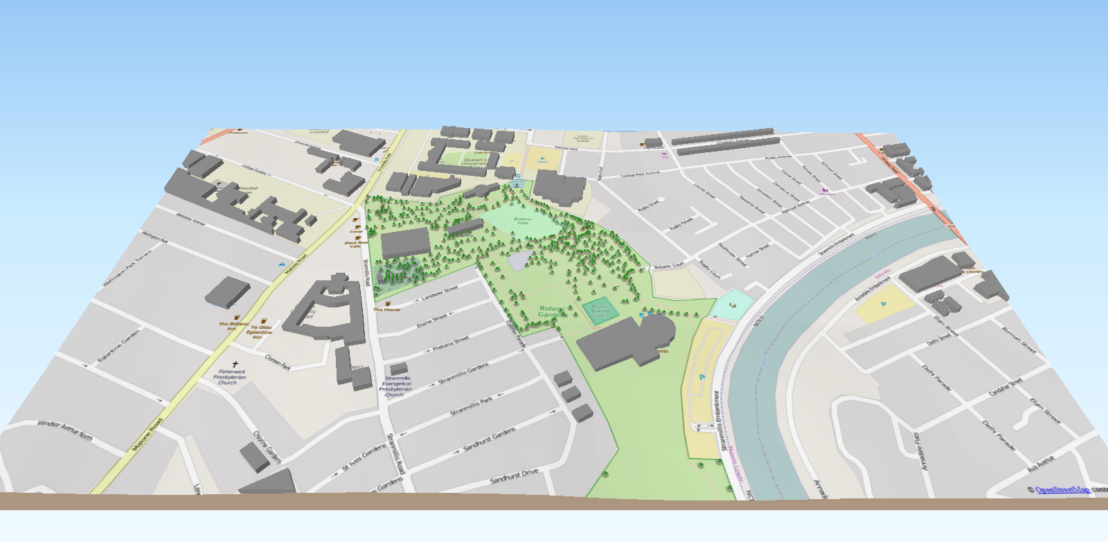
Using the Belfast tree database from OpenDataNI along with other open spatial datasets (elevation and openstreetmap) a 3D interactive model has been created for Botanic Gardens. The model is interactive and a user can zoom and turn the viewing angle to suit. The model is constructed using entirely open spatial datasets, analysed and mapped within open source geographical information systems software, visualized three-dimensionally using open source spatial libraries and hosted on a public platform. Tree surveys and their spatial assessment are now part of city and council management. Belfast's trees can be mapped and analysed spatially for quality, type and density.
Website blog: http://blogs.qub.ac.uk/gis/2016/02/10/open-data-and-3d-visualisation/