-

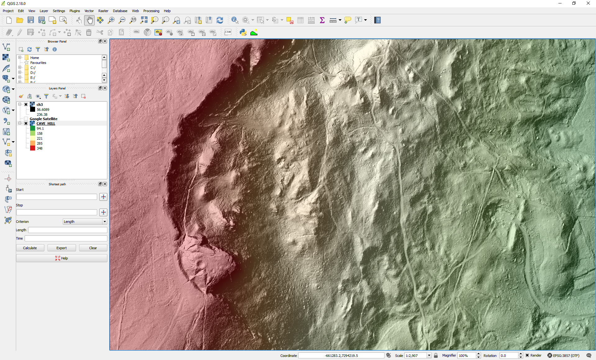
What's under the trees? Visualising OpenDataNI LiDAR in a Geographical...
A blog describing the steps to process, visualise and analyse the OpenDataNI LiDAR data (Raster/Grid forma) using a free and open source Geographical Information System (GIS).1 dataset View What's under the trees? Visualising OpenDataNI LiDAR in a Geographical Information System (GIS) -

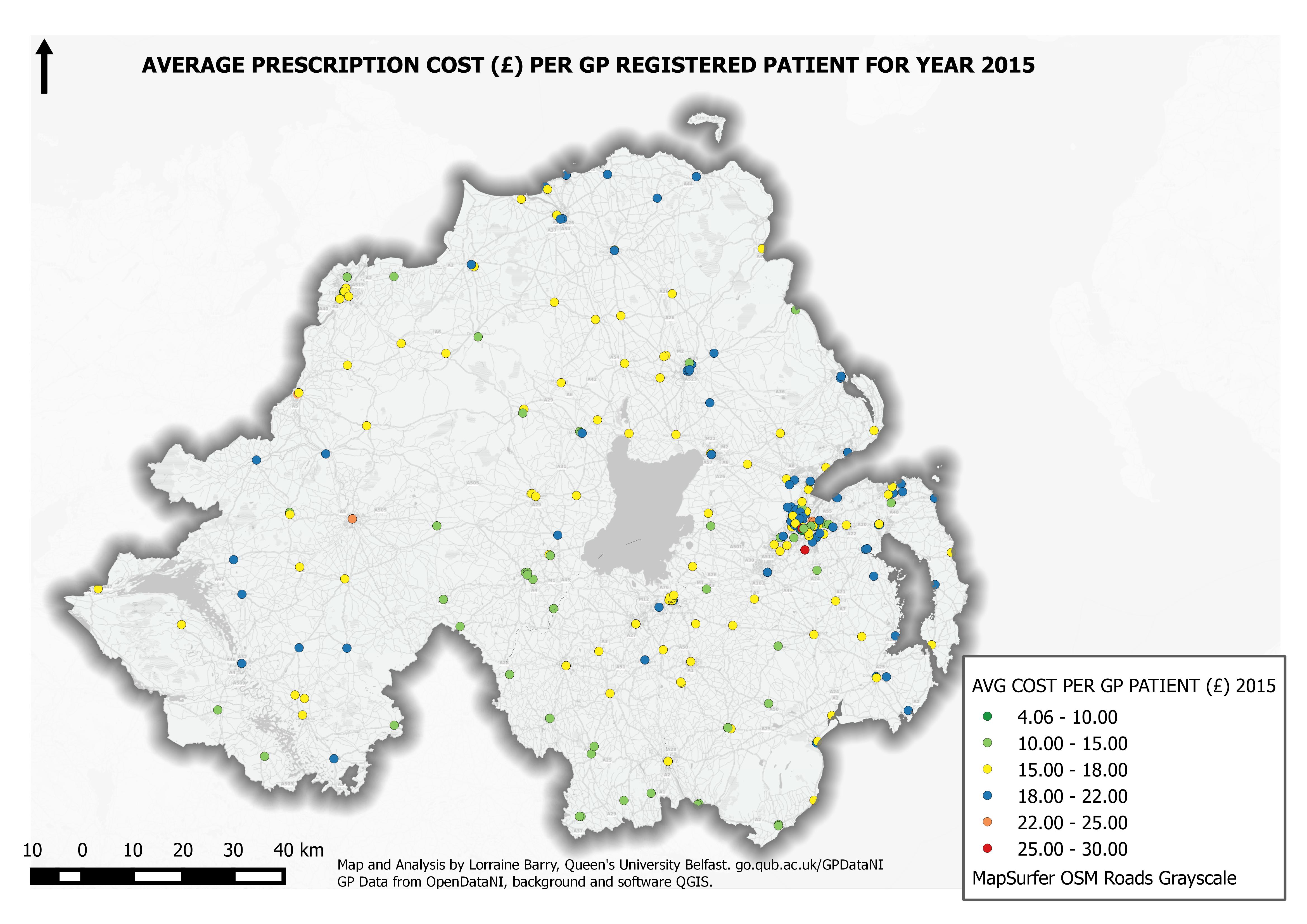
Average 2015 Prescription Costs for GP Practices in Northern Ireland
A overview of prescription costs in Northern Ireland for 2015 based on averaged monthly quantities and cost per registered GP patient organised by GP practice. Each GP practice...1 dataset View Average 2015 Prescription Costs for GP Practices in Northern Ireland -
The Public Trees of Belfast City
The Belfast City Council Open Data Tree Database details the species and location of 15,500 'Public' trees in the cityscape (Park & Street). The data includes information on...1 dataset View The Public Trees of Belfast City