  • Innskráning
  • Skráning
Open Data NI
    • Heim
    • Gagnapakkar
    • Showcases
    • Links
    • News
    • Um vefinn
    • Contact
  1. Heim
  2. Stofnanir
  3. Department for Communities
  4. Department for Communities...
  5. Historic Environment...

Historic Environment Division Lidar 2014

Fylgjendur
1

Stofnun

department-for-communities-historic-environment-division

Department for Communities - Historic Environment Division

Recording, protecting, conserving and promoting our diverse built heritage so that it can be enjoyed by future generations.

lesa meira

Samfélagsmiðlar

  • Twitter
  • Facebook

Leyfisskilmálar

UK Open Government Licence (OGL) [Open Data]

  • Gagnapakki
  • Söfn
  • Showcases
  • Uppfærslustraumur

Showcases featuring Historic Environment Division Lidar 2014

  • what-s-under-the-trees-visualising-opendatani-lidar-in-a-geographical-information-system-gis

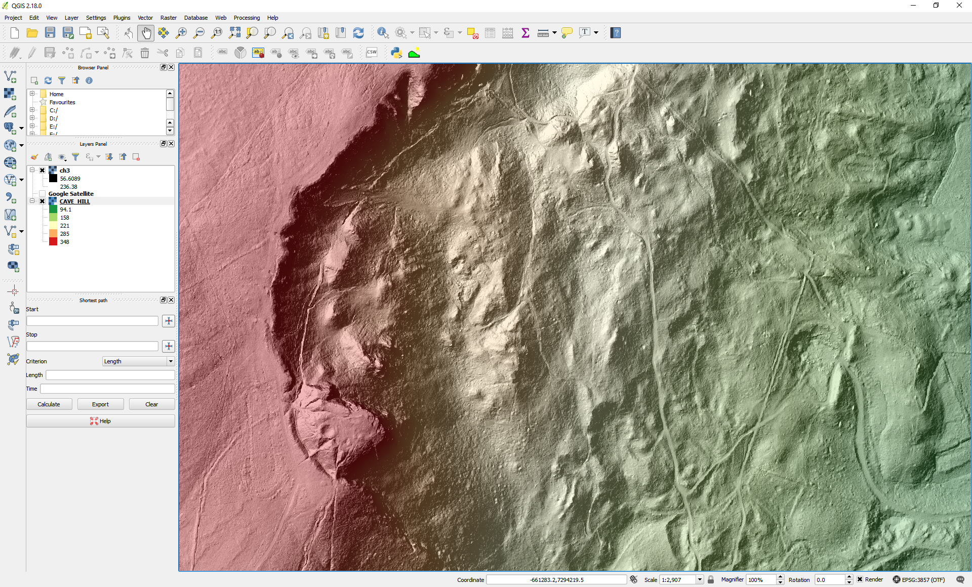
    What's under the trees? Visualising OpenDataNI LiDAR in a Geographical...

    A blog describing the steps to process, visualise and analyse the OpenDataNI LiDAR data (Raster/Grid forma) using a free and open source Geographical Information System (GIS).
    1 gagnapakki View What's under the trees? Visualising OpenDataNI LiDAR in a Geographical Information System (GIS)
NI Direct
Digital NI
CKAN
Datopian
Cookies | Data protection | Code of conduct | Terms & conditions | CKAN API