ArcGIS GeoService
Dataset description:
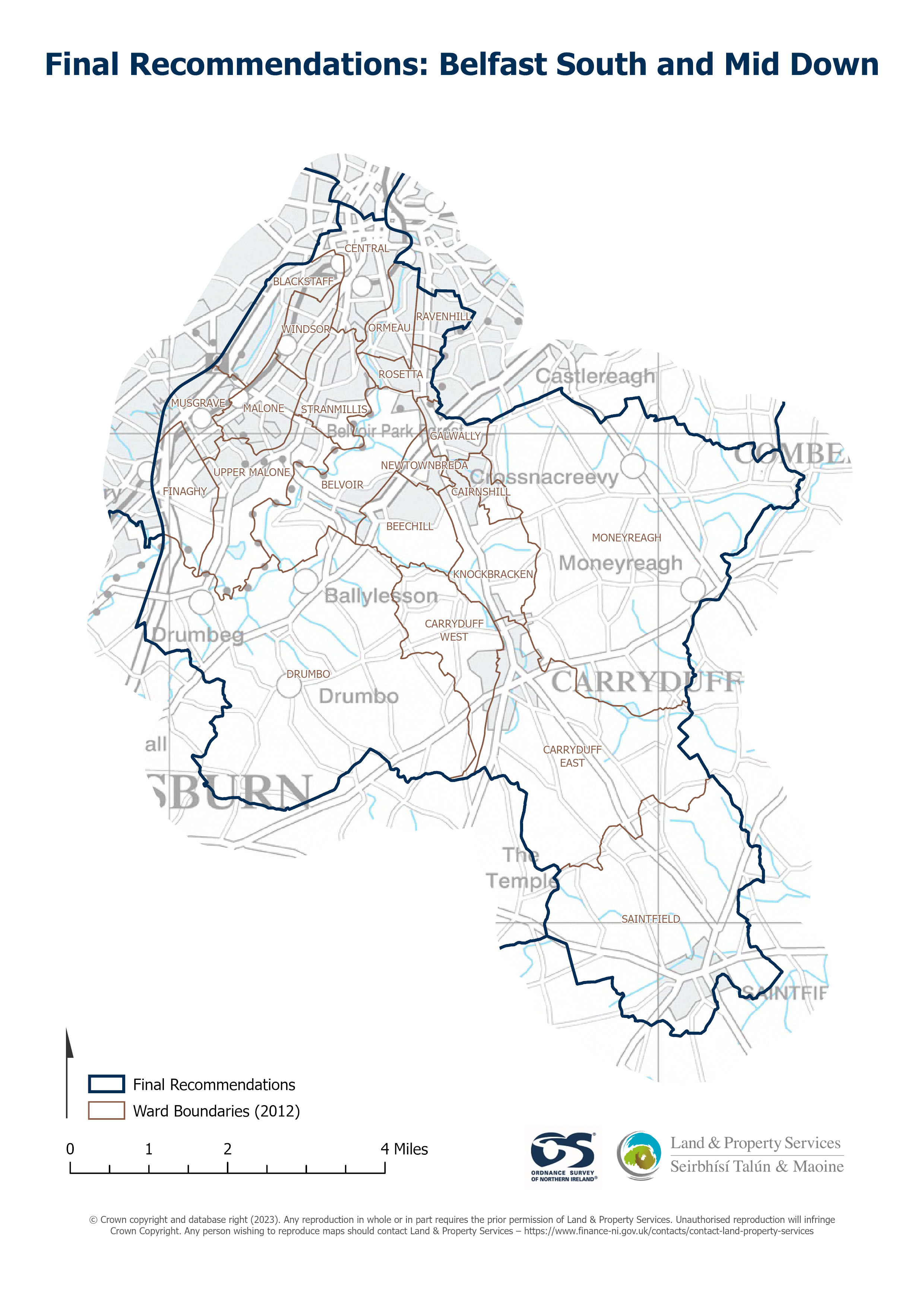
Raster download of Parliamentary Constituency 2023 of Belfast South and Mid Down. The OSNI Large-scale Parliamentary Constituencies boundaries is a dataset consisting of official...
Kilde: OSNI OpenData - Parliamentary Constituencies 2023 - Belfast South and Mid Down
Det er ikke laget noen visninger for denne ressursen ennå.
Tilleggsinformasjon
| Felt | Verdi |
|---|---|
| Metadata sist oppdatert | 27. august 2025 |
| Opprettet | 27. august 2025 |
| Format | JSON |
| Lisens | UK Open Government Licence (OGL) |
| Access url | https://docs.spatialni.gov.uk/OpenData/OSNIOpenData_ParliamentaryConstituencies2023/PC2023_Belfast_South_and_Mid_Down.png |
| Datastore active | False |
| Distribution ref | N726e42f0c79e46cb81e3a55eb4aad26e |
| Has views | False |
| Id | b0590671-0000-4862-9872-88594af09e79 |
| Mimetype | application/json |
| Package id | 2292a9a3-af8a-48a3-9807-1b29af2b61ba |
| Position | 1 |
| Requested | False |
| State | active |