ArcGIS GeoService
Dataset description:
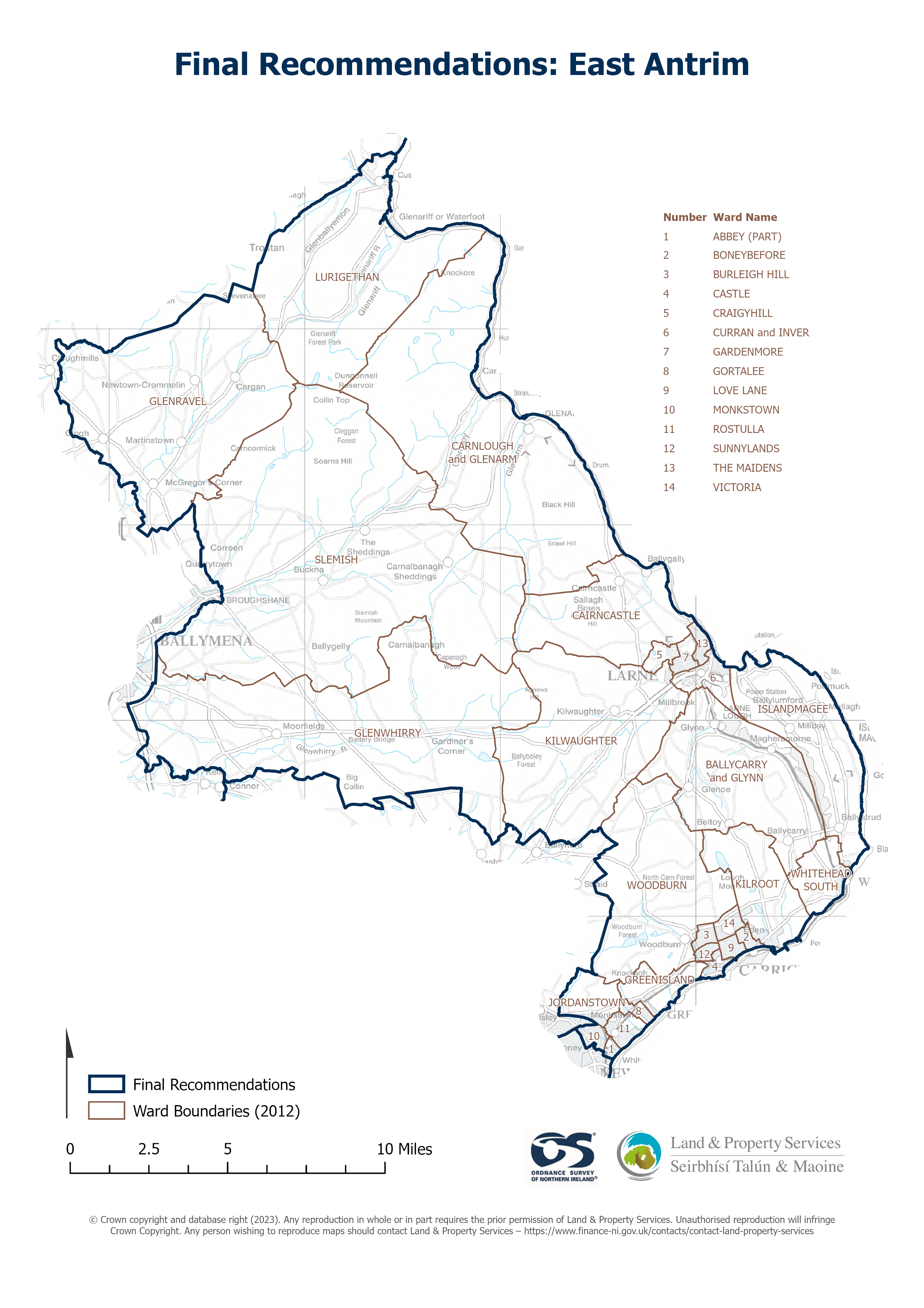
Raster download of Parliamentary Constituency 2023 of East Antrim. The OSNI Large-scale Parliamentary Constituencies boundaries is a dataset consisting of official boundaries as agreed by...
Avots: OSNI OpenData - Parliamentary Constituencies 2023 - East Antrim
Šim resursam pašreiz vēl nav izveidots skats.
Papildus informācija
| Lauks | Vērtība |
|---|---|
| Metadata last updated | 2025. gada 27. augusts |
| Izveidots | 2025. gada 27. augusts |
| Formāts | JSON |
| Licence | UK Open Government Licence (OGL) |
| Access url | https://docs.spatialni.gov.uk/OpenData/OSNIOpenData_ParliamentaryConstituencies2023/PC2023_East_Antrim.png |
| Datastore active | False |
| Distribution ref | N9d1f7ff2d4b541238031c443693c190b |
| Has views | False |
| Id | 9bdce33a-184e-4cf5-9d09-e0232999912b |
| Mimetype | application/json |
| Package id | ab7ffadf-6fb6-498d-be83-f1f4285d8bdb |
| Position | 1 |
| Requested | False |
| State | active |