ArcGIS GeoService
Dataset description:
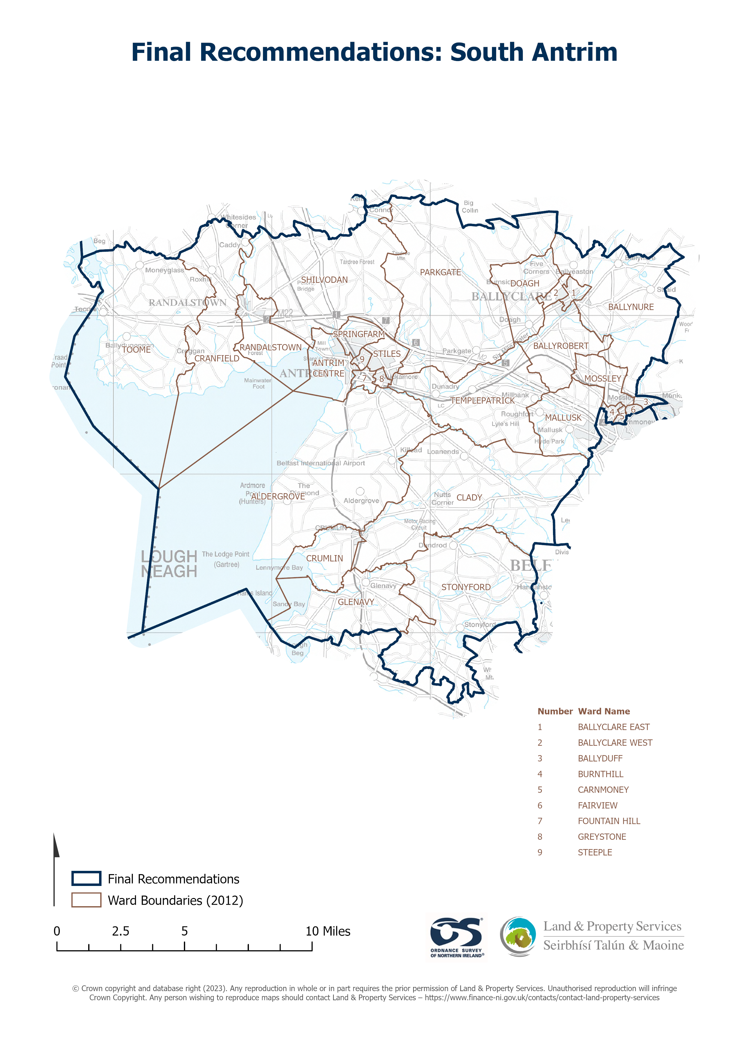
Raster download of Parliamentary Constituency 2023 of South Antrim. The OSNI Large-scale Parliamentary Constituencies boundaries is a dataset consisting of official boundaries as agreed...
Source: OSNI OpenData - Parliamentary Constituencies 2023 - South Antrim
이 리소스를 위해 생성된 뷰가 아직 없습니다.
추가 정보
| 필드 | 값 |
|---|---|
| 마지막으로 업데이트된 메타데이터 | 2024년 9월 21일 |
| 생성됨 | 2024년 9월 21일 |
| 포맷 | JSON |
| 라이센스 | UK Open Government Licence (OGL) |
| Datastore active | False |
| Has views | False |
| Id | 2c2cf86b-df58-4ff6-a297-17a94768f2ef |
| Mimetype | application/json |
| Package id | abeede22-7716-4bae-821f-399383773973 |
| Position | 1 |
| Requested | False |
| State | active |
| Uri | None |