ArcGIS GeoService
Datensatzbeschreibung:
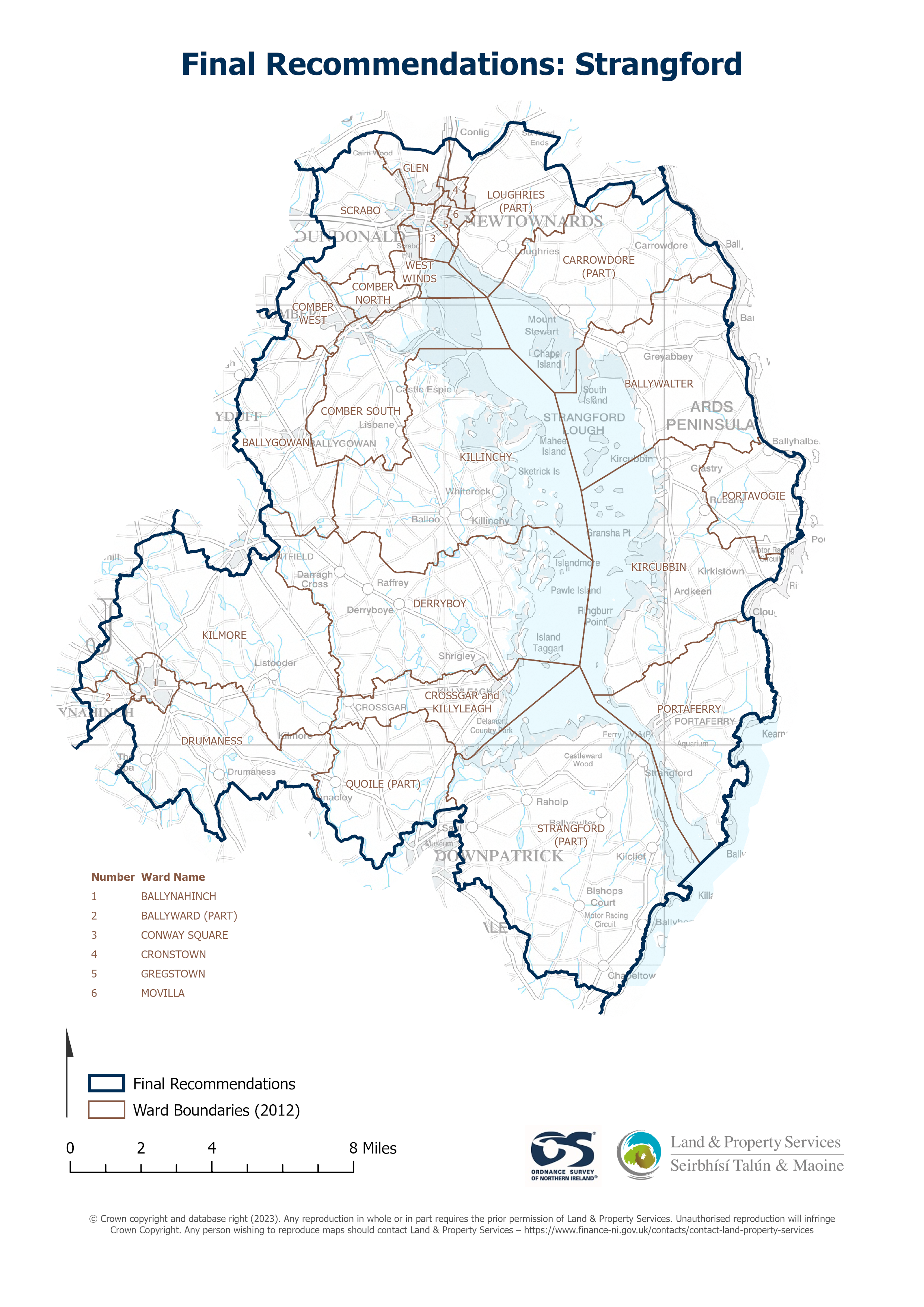
Raster download of Parliamentary Constituency 2023 of Strangford. The OSNI Large-scale Parliamentary Constituencies boundaries is a dataset consisting of official boundaries as agreed by...
Quelle: OSNI OpenData - Parliamentary Constituencies 2023 - Strangford
Es gibt noch keine Darstellungen/Views für diese Ressource
Zusätzliche Informationen
| Feld | Wert |
|---|---|
| Metadaten zuletzt aktualisiert | 21. September 2024 |
| Erstellt | 21. September 2024 |
| Format | JSON |
| Lizenz | UK Open Government Licence (OGL) |
| Datastore active | False |
| Has views | False |
| Id | 8be7748e-c530-4ea1-8154-c23f76b83730 |
| Mimetype | application/json |
| Package id | 47ed4aaf-64a3-49dd-a5c6-b437e932ba39 |
| Position | 0 |
| Requested | False |
| State | active |
| Uri | None |